
Cave Mapping & Documentation

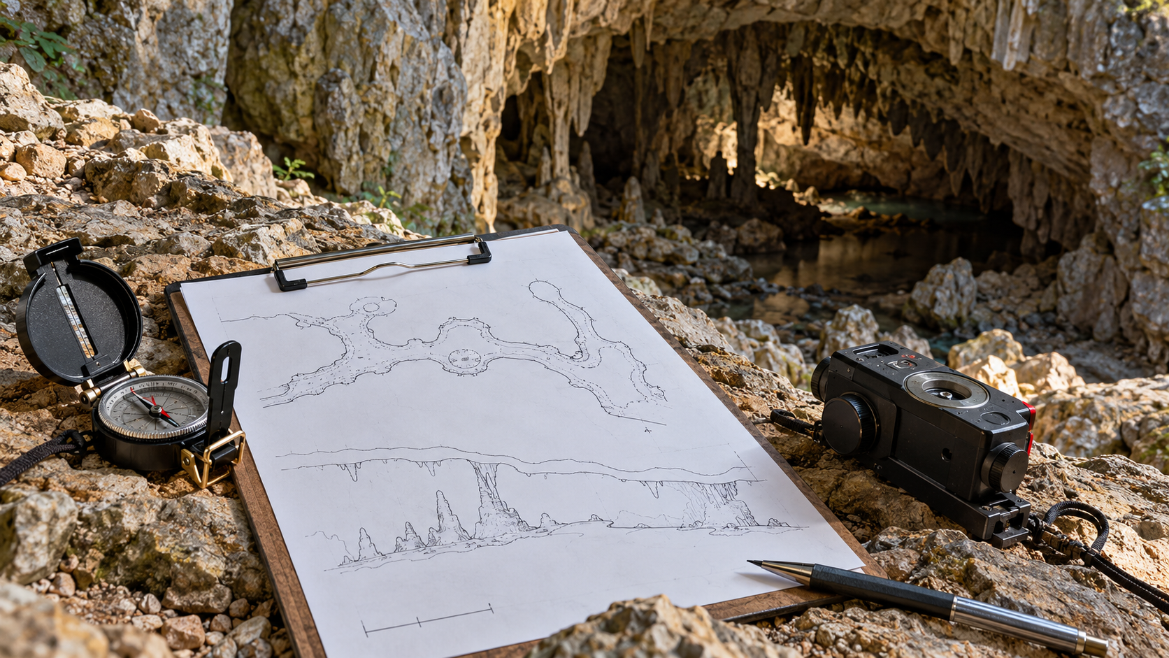
Illustration of cave survey drawings and instruments beside a cave entrance

A photograph looks into a cave; a survey explains how its spaces relate. A narrow entrance may lead to a broad chamber, an apparent dead end may sit above another passage, and a plan view can conceal a substantial change in height. Cave Mapping & Documentation brings these spatial questions into focus. Explore the complementary roles of plans, profiles, cross-sections, measurements, photography, and descriptive records. Learn to distinguish a surveyed boundary from an inferred connection, and a polished drawing from the evidence used to construct it. The collection is useful for readers interpreting published cave maps, students studying underground geometry, and designers translating natural references into models. It also considers the information surrounding a map: scale, orientation, dates, methods, limitations, and the source of each observation. Documentation becomes more valuable when another reader can understand what was recorded and what remains uncertain. Whether the final output is a simple passage sketch or a digital model, the central challenge is the same: representing a complex three-dimensional place without losing the relationships that make its geometry meaningful.

Plan: A view that organizes horizontal passage relationships.
Profile: A drawing that communicates elevation changes.
Cross-section: A slice showing passage shape at a location.
Scale: The relationship between drawing size and represented distance.
Orientation: Direction information situates a map spatially.
Survey station: A documented point used in measurement work.
Source record: Notes preserve how information was obtained.
Uncertainty: Measurements and interpretations have limits.
Version: A dated map represents a particular state of knowledge.
Three-dimensional context: Several views may be needed to explain one passage.
Plans flatten height: Overlapping passages can be difficult to interpret in one view.
Sections vary: A tunnel's shape can change along its length.
Symbols need keys: Graphic conventions should be explained.
Blank areas differ: Unmapped space is not necessarily empty rock.
Dates matter: Later surveys can change known geometry.
Photographs supplement: Images add texture and condition information.
Models inherit limits: Digital detail does not eliminate source uncertainty.
Names require consistency: Passage labels should correspond across records.
Reference systems matter: Coordinates need a stated frame of reference.
Access sensitivity: Some location information requires careful handling.
Published surveys: Choose maps with clear legends and source information.
Measuring instruments: Understand the documented method before interpreting precision.
Field notebooks: Preserve observations alongside measurements.
Drawing software: Organize linework without confusing polish with accuracy.
GIS viewers: Relate mapped features to surface context where appropriate.
Photogrammetry tools: Build image-based models when suitable data and methods exist.
Point-cloud viewers: Inspect captured geometry from multiple directions.
Image logs: Connect each photograph to a location and viewpoint.
Version archives: Retain earlier records for comparison.
Metadata templates: Record date, method, scale, and known limitations.
View selection: The best drawing depends on the spatial question being asked.
Error propagation: Measurement uncertainty can affect connected geometry.
Closure checks: Survey consistency requires more than attractive linework.
Occlusion: Hidden surfaces may remain absent from visual capture.
Surface registration: Combining datasets requires compatible reference information.
Interpretive boundaries: A line may represent observation, inference, or convention.
Model density: More points do not automatically mean better evidence.
Texture distinction: Photographic appearance and geometric accuracy are separate qualities.
Reproducibility: Clear methods let later readers assess the record.
Design transfer: A natural survey should be translated deliberately into a constructed proposal.
Stacked passages: Two routes can overlap in plan without intersecting.
Tiny symbols: A small legend entry can change a map's meaning.
Vertical surprises: A short-looking route may involve substantial height change.
Historic comparisons: Older maps reveal the development of knowledge.
Hidden ceilings: Floor-centered photography can omit important overhead geometry.
Different scales: An overview and detailed section answer different questions.
Visual illusion: Perspective can make a chamber appear larger than its measurements.
Survey stories: Notes can explain details omitted from final drawings.
Digital shadows: Missing data may resemble a genuine opening in a model.
Shared coordinates: Good records allow different observations to be compared.
Q: Is a cave plan enough to understand its shape?
A: Usually not. Profiles and sections reveal vertical relationships.
Q: Does an unmapped area mean no passage exists?
A: No. It may simply lack documented survey information.
Q: Can a photograph supply accurate dimensions by itself?
A: Reliable dimensions require appropriate scale information and methods.
Q: Are detailed digital models always accurate?
A: Their quality depends on capture, processing, reference data, and validation.
Q: Why include a map date?
A: It identifies the version and the knowledge available when prepared.
Q: What does a cross-section show?
A: It shows the passage's shape at a particular position.
Q: Can surface GPS map an entire underground route?
A: Underground geometry requires appropriate survey methods rather than assumed surface positioning.
Q: Why preserve raw notes?
A: They provide context and evidence beyond the finished drawing.
Q: Should sensitive cave locations be published automatically?
A: No. Access, conservation, and information-sharing requirements should be considered.
Q: How can a designer use a cave survey?
A: Use its spatial relationships as documented references while developing a separate project-specific design.