Natural Caves & Geology

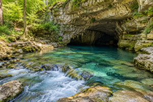
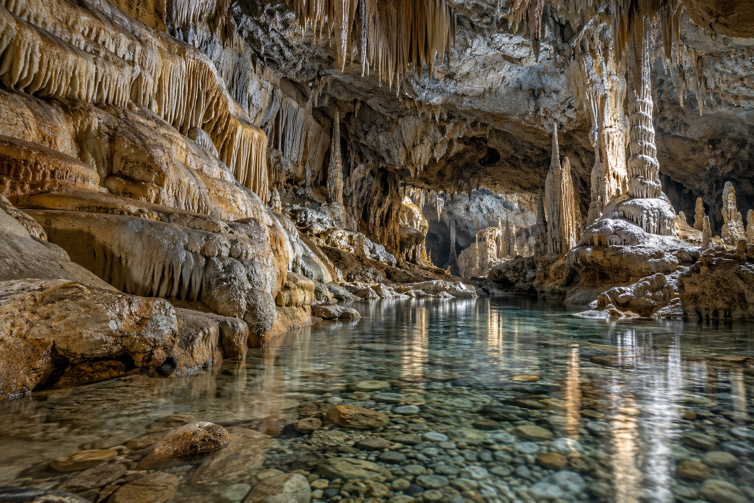
Illustration of a limestone cavern with mineral formations and an underground stream

A cave entrance offers only a small glimpse of the landscape behind it. Beyond the opening, passages may follow fractures, ancient streams, cooling lava, or the boundary between land and sea. Understanding those origins changes what you notice: the direction of a ceiling channel, the shape of a mineral curtain, or the relationship between a spring and the hills above it. Natural Caves & Geology brings these clues together for curious readers, students, landscape designers, and anyone drawn to underground places. Explore limestone karst, coastal grottos, volcanic tubes, frozen chambers, and the organisms that depend on them. Learn how maps record spaces that surface views cannot reveal, and why a spectacular formation is also a delicate environmental record. This collection connects individual cave features with the wider systems of rock, water, climate, and time that produced them. It also gives designers a richer visual vocabulary without treating natural caves as interchangeable scenery. Start with the process that shaped a place, then follow its evidence from the surrounding landscape into the details of its underground architecture.

Cave origins: Dissolution, wave erosion, lava movement, and ice processes produce different kinds of underground space.
Host rock: The surrounding material helps explain the passage shapes and surfaces visible inside a cave.
Karst landscapes: Sinkholes, sinking streams, caves, and springs can belong to a connected drainage system.
Fracture patterns: Existing cracks often influence where groundwater first gains access to soluble rock.
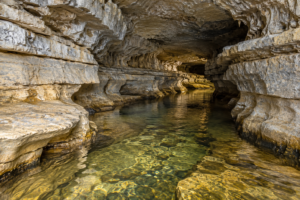
Bedding planes: Boundaries between sedimentary layers can guide passage development and create distinctive ceilings.
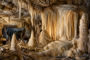
Speleothems: Mineral deposits such as stalactites grow within a cavity; they are not the same as the cavity itself.
Sediment records: Sand, clay, and gravel can preserve evidence of former water movement through a passage.
Entrance zones: Daylight, temperature variation, and incoming organic material make entrances different from deeper chambers.
Geological time: Cave development is a history of changing conditions rather than a single moment of formation.
Conservation: Undisturbed surfaces, habitats, and deposits retain information that damage can permanently remove.
Limestone systems: Dissolved carbonate rock can develop branching passages and extensive underground drainage.
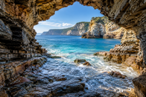
Coastal openings: Sea caves reflect wave action working on weaknesses in coastal rock.
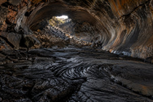
Volcanic tunnels: A lava tube records the movement of molten rock beneath a cooling surface.
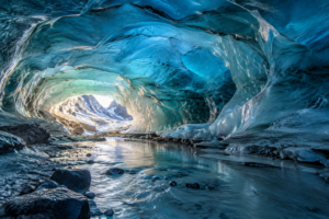
Frozen chambers: A cave containing ice and a cave within glacier ice describe different settings.
Mineral curtains: Thin draperies develop where mineral-bearing water follows a sloping ceiling.
Flowstone surfaces: Sheets of deposited mineral can coat walls, floors, and older formations.
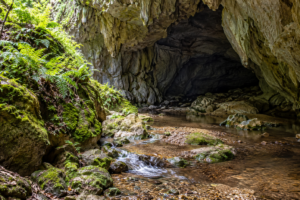
Underground streams: Moving water connects the shape of a passage with the surrounding catchment.
Spring outlets: Water returning to daylight can reveal part of a hidden drainage network.
Dark-zone life: Some cave organisms depend on food carried into a system from elsewhere.
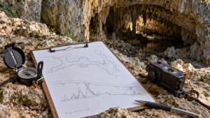
Layered maps: Plans, profiles, and cross-sections reveal different aspects of the same cave.
Compare origins: Place a lava tube beside a limestone passage and identify the differences in their walls and ceilings.
Trace the landscape: Locate mapped sinkholes and springs before interpreting an underground plan.
Study coastal forms: Examine how cliff fractures and wave exposure relate to sea cave openings.
Read mineral deposits: Distinguish formations hanging from ceilings from those rising from floors.
Look beyond spectacle: Sediment banks and small channels can be as informative as a large decorated chamber.
Explore cave ecology: Follow the connections between entrances, water, organic inputs, and resident organisms.
Understand survey views: Pair a horizontal plan with a vertical profile to avoid flattening a three-dimensional space.
Investigate ice settings: Compare seasonal ice in rock caves with passages formed within glaciers.
Build a reference library: Record the location and geological context of images instead of collecting anonymous cave textures.
Follow conservation guidance: Choose managed visits and site-specific information when planning to experience a cave.
Q: Are all caves made by water?
A: No. Lava tubes, for example, form through volcanic processes, although water may later affect them.
Q: Is a grotto always a natural cave?
A: No. The word also describes constructed garden and pool spaces with a cave-like character.
Q: What is karst?
A: It is a landscape shaped by dissolution of soluble rock, often with characteristic underground drainage.
Q: Are stalactites part of the original rock ceiling?
A: They are mineral deposits that grow from water moving through an existing cavity.
Q: Can a dry cave still have a water-shaped history?
A: Yes. Drainage routes and groundwater levels can change over time.
Q: Do cave walls reveal their age directly?
A: Usually not. Establishing an age requires appropriate geological evidence and interpretation.
Q: Are ice caves and glacier caves identical?
A: No. Ice can persist inside a rock cave, while glacier caves occur within glacier ice.
Q: Why are cave maps drawn in several views?
A: A plan shows horizontal relationships; profiles and sections reveal height and passage shape.
Q: Can a cave photograph identify its geology?
A: It can suggest clues, but location records and geological information provide essential context.
Q: Why avoid touching formations?
A: Contact can damage fragile deposits and disturb protected surfaces or their surrounding environment.

Latest Natural Caves & Geology Articles